US 50 the dividing line
A blast of arctic air will move into the Ohio Valley overnight Tuesday, and remain in place through Thursday. Air temperatures will plummet into the single digits for lows Wednesday morning that will combine with northwest winds of 10 to 15 mph to create dangerous wind chill values.
* WHAT...Very cold wind chills expected. Wind chills as low as 20 below zero expected.
* WHERE...Wind Chill Warning area's north of US 50. Wind Chill Advisroy area's south of US 50
* WHEN...For the Wind Chill Warning, from 7 AM to 7 PM EST Wednesday. For the Wind Chill Advisory, from 7 PM Tuesday to 2 PM EST Wednesday.
* ADDITIONAL DETAILS...The cold wind chills could cause frostbite on exposed skin in as little as 30 minutes.
A Wind Chill Advisory means that cold air and the wind will combine to create low wind chills. Frostbite and hypothermia can occur if precautions are not taken. Make sure you wear a hat and gloves.
A Wind Chill Warning means the combination of very cold air and the wind will create dangerously low wind chill values. Frostbite can occur quickly and even hypothermia or death if precautions are not taken.
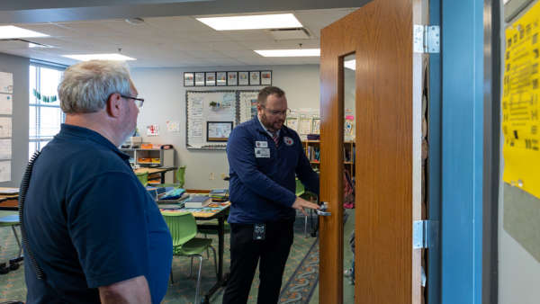 Indiana's Office of School Safety Marks First Year with Completion of 92-County School Safety Visits
 AAA Projects 72.2 Million Will Travel for Fourth of July
 Former Argosy Casino Riverboat Now on the Bottom of the Gulf