Remember we're just the messenger
...Significant Snow Accumulations Likely Late Friday Night... .A storm system will approach the Ohio Valley late Friday night through Saturday morning. Rain is expected to change over to wet snow late Friday evening, becoming heavy at times Friday night into Saturday morning. Several inches of accumulation are possible across southern Indiana and north central Kentucky. Those with travel plans should monitor the latest forecasts and potential snow amounts. ...WINTER STORM WATCH IN EFFECT FROM LATE FRIDAY NIGHT THROUGH SATURDAY MORNING...
* WHAT...Heavy wet snow possible. Total snow accumulations of 3 to 6 inches possible.
* WHERE...Southern Indiana and portions of central Kentucky.
* WHEN...From late Friday night through Saturday morning.
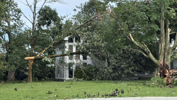
* ADDITIONAL DETAILS...Plan on difficult travel conditions. Significant reductions in visibility are possible. Broken tree limbs due to the heavy snow may result in isolated power outage s.
* AFFECTED AREAS: CLARK ... CRAWFORD ... DUBOIS ... FLOYD ... HARRISON ... JEFFERSON ... ORANGE ... PERRY ... SCOTT ... WASHINGTON... IN INDIANA... TRIMBLE...CARROLL... GALLATIN...OWEN...HENRY... IN KENTUCKY
Instructions:
A Winter Storm Watch means there is potential for significant snow, sleet or ice accumulations that may impact travel. Continue to monitor the latest forecasts.
 Madison Area Chamber Announces Advantage 1 Health for Small Business Members
 Voices of America County Music Fest Announces Daily Artist Schedule
 Gov. Braun Declares State of Disaster Emergency for 63 Indiana Counties