Rainfall totals of 3 to 4 inches, with locally higher
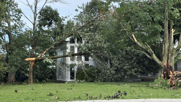
Widespread rain and embedded thunderstorms are expected Friday night through Sunday night, as the remnant low of Gordon moves along a stalled front. Rainfall totals up to 4 inches, with locally higher amounts, will increase the threat for flash flooding. The National Weather Service in Louisville has issued a
* Flash Flood Watch for all of southern Indiana.
* From Saturday morning through Sunday evening
* Multiple rounds of widespread rain and embedded thunderstorms over the weekend. Rainfall totals of 3 to 4 inches, with locally higher amounts.
* Rapid rises on creeks and small streams following the heaviest rainfall.
* AFFECTED AREAS: SCOTT... CLARK ... JEFFERSON ... WASHINGTON…TRIMBLE…SWITZERLAND…CARROL…GALLATIN…RIPLEY…JENNINGS COUNTIES IN OUR LISTENING AREA…
Instructions:
A Flash Flood Watch means that conditions may develop that lead to flash flooding. Flash flooding is a very dangerous situation. You should monitor later forecasts and be prepared to take action should Flash Flood Warnings be issued.
 Madison Area Chamber Announces Advantage 1 Health for Small Business Members
 Voices of America County Music Fest Announces Daily Artist Schedule
 Gov. Braun Declares State of Disaster Emergency for 63 Indiana Counties