10:18 a.m. on October 18
Yes! The Hoosier state has trembled in the wake of earth waves generated by powerful earthquakes in the past, and will, no doubt, tremble again in quakes that are yet to come.
When the people living in and near the town of New Madrid in what is now southeastern Missouri went to bed on the night of December 15, 1811, they had no way of knowing that during the pre-dawn hours of the following morning they would be jarred from their peaceful slumber by shock waves that rippled through the earth with such force that buildings collapsed, trees toppled, and the Mississippi River changed course. The explosive force that shattered the stillness of that serene setting was one of the most powerful earthquakes ever recorded in North America. During the next two months, the area would be rocked by three more quakes as powerful as the first (one just six hours after the first) and hundreds of smaller ones. The larger quakes shook the earth with enough force to cause church bells to ring in Washington, D.C. They were felt in Indiana and were even felt a thousand miles away in New Hampshire.
Since the New Madrid quakes, Indiana has felt the effects of many earthquakes . The strongest of these was the 1895 Charleston, Missouri quake, which damaged buildings in Evansville and other parts of southwestern Indiana. According to the U.S. Geological Survey, the strongest quake centered in Indiana during historic times struck the Wabash River valley on September 27, 1909. This quake knocked down chimneys, broke windows, and cracked plaster in the lower Wabash Valley and was reportedly felt in Arkansas, Illinois, Iowa, Kentucky, Missouri, Ohio, and Tennessee. More recently, Indiana was shaken in 1987 by a quake centered near Olney, Illinois, just west of Vincennes.
Indiana has several faults, but, unlike California’s famous San Andreas Fault, nearly all of our faults are buried and can’t be seen at the surface. Researchers have been able to map some faults in Indiana using evidence found in rocks from oil and gas wells and by employing a method called reflection seismic profiling. This method involves recording man-made vibrations reflected off layers of rock below the surface. Most of the faults that have been mapped in Indiana are located in the southwestern corner of the state. These faults extend into Illinois and are collectively known as the Wabash Valley Fault System. All of the mapped faults in Indiana are normal faults . Normal faults form when the crust is being pulled apart instead of being compressed as it is now. These mapped faults are unlikely candidates for future movement. The earthquakes that have occurred in Indiana during the last 200 years are the result of movement along faults at great depth (10 or more kilometers) below the surface. This depth and the nature of the rock layers at that depth have limited the ability of seismologists to successfully map earthquake-generating faults using reflection seismic profiling. Unfortunately, the best method available for mapping these faults is to wait patiently for the next large earthquake, then determine the precise location of the aftershocks using very sensitive seismometers .
Much more research is needed before we will know the full extent of faulting beneath Indiana and the potential for movement along those faults.
 Madison Area Chamber Announces Advantage 1 Health for Small Business Members
 Voices of America County Music Fest Announces Daily Artist Schedule
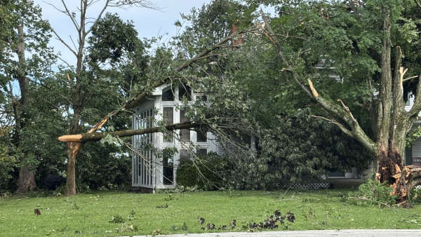 Gov. Braun Declares State of Disaster Emergency for 63 Indiana Counties