Jefferson, Trimble, Switzerland, Carroll, Ripley, Gallatin, Jennings,
...Wintry Mix Possible Now Through Tuesday Morning...
.A broad frontal boundary is in place across the region, bringing persistent precipitation to the region. Temperatures hanging around freezing and persistent mixed precipitation will lead to a threat for some slick spots now through mid morning on Tuesday.
* WHAT...Freezing rain expected. Total ice accumulations of up to one tenth of an inch, mainly on elevated surfaces.
* WHEN...Until 10 AM EST Tuesday.
* IMPACTS...Difficult travel conditions are possible. The hazardous conditions could impact the morning or evening commute. A few power outages may occur.
* ADDITIONAL DETAILS...Some snow may mix in with light accumulations mainly on grassy and elevated surfaces around sunrise Tuesday.
Instructions:
Slow down and use caution while traveling. Prepare for possible power outages. The latest road conditions for the state you are calling from can be obtained by calling 5 1 1.
 Indiana Unemployment Rate Goes Down in January, Local Rates Go Up
 St. Michael the Archangel Tours Begin May 9!
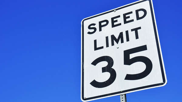 Speed limit to be reduced on U.S. 421 in Madison